 Image 1 of 1
Sunday, June 14 l 10:30 AM
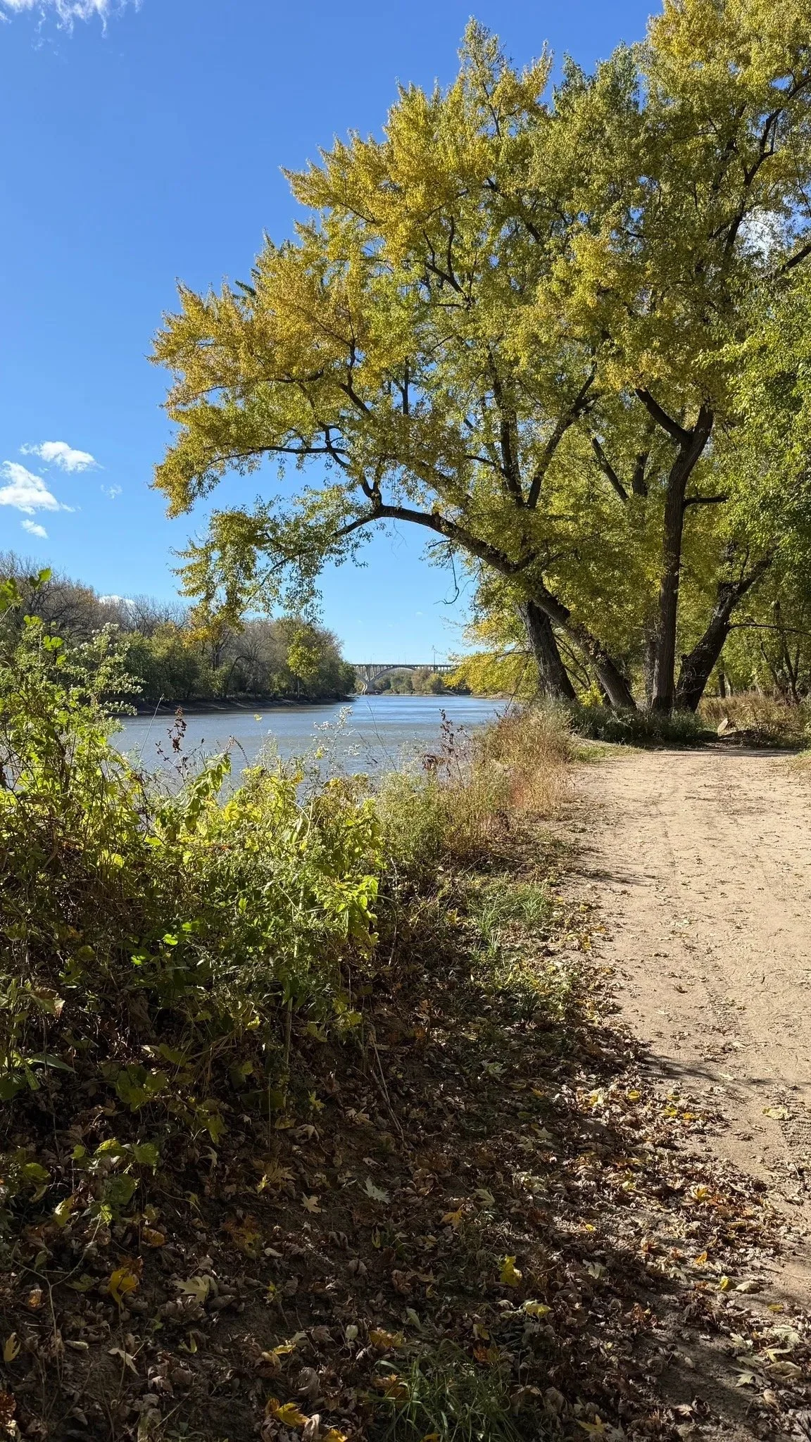
The Pike Island Loop circles a lush island at the confluence of the Mississippi and Minnesota Rivers — one of the most scenic easy hikes in the Twin Cities. The trail covers 3.8 miles with only 75 feet of elevation gain and takes about 1–1.5 hours to complete. The trail starts paved and transitions to a well-trodden dirt path. Since it's an island, the entire route is relatively flat. The Outbound + 2
At the halfway point, you'll reach the farthest tip of the island with a beautiful view of both rivers combining into one — and when water levels are low, it even reveals a white sand beach. Discover The Cities
This is a great hike for all fitness levels. Expect good conversation, river views, and a solid Sunday morning outside.
📍 Meet: Thomas C. Savage Visitor Center parking lot, Fort Snelling State Park
🗺 Maps: Search "Minnehaha Trailhead" or "Thomas C. Savage Visitor Center"
⏱ Duration: ~1.5 hours
📏 Distance: 3.8 miles
📈 Elevation: 75 ft gain (essentially flat)
💪 Difficulty: Easy
👟 Trail Surface: Paved start, natural dirt path
All Minnesota State Parks require a vehicle entry fee of $7 per day or $35 for an annual pass. Pay at the visitor center when you arrive. If you have a state park annual pass, you're all set.
What to Bring
Good walking shoes (trail runners or hiking shoes recommended)
Water bottle
Snack
Sunscreen + hat (open sections along the river)
$7 cash or card for parking (or your state park pass)
Special Notes
🐾 Dogs welcome, must be on leash at all times
🚻 Restrooms and a water refill station available at the Thomas C. Savage Visitor Center near the trailhead AllTrails
👥 Group capped at 10, grab your spot early
Sunday, June 14 l 10:30 AM
The Pike Island Loop circles a lush island at the confluence of the Mississippi and Minnesota Rivers — one of the most scenic easy hikes in the Twin Cities. The trail covers 3.8 miles with only 75 feet of elevation gain and takes about 1–1.5 hours to complete. The trail starts paved and transitions to a well-trodden dirt path. Since it's an island, the entire route is relatively flat. The Outbound + 2
At the halfway point, you'll reach the farthest tip of the island with a beautiful view of both rivers combining into one — and when water levels are low, it even reveals a white sand beach. Discover The Cities
This is a great hike for all fitness levels. Expect good conversation, river views, and a solid Sunday morning outside.
📍 Meet: Thomas C. Savage Visitor Center parking lot, Fort Snelling State Park
🗺 Maps: Search "Minnehaha Trailhead" or "Thomas C. Savage Visitor Center"
⏱ Duration: ~1.5 hours
📏 Distance: 3.8 miles
📈 Elevation: 75 ft gain (essentially flat)
💪 Difficulty: Easy
👟 Trail Surface: Paved start, natural dirt path
All Minnesota State Parks require a vehicle entry fee of $7 per day or $35 for an annual pass. Pay at the visitor center when you arrive. If you have a state park annual pass, you're all set.
What to Bring
Good walking shoes (trail runners or hiking shoes recommended)
Water bottle
Snack
Sunscreen + hat (open sections along the river)
$7 cash or card for parking (or your state park pass)
Special Notes
🐾 Dogs welcome, must be on leash at all times
🚻 Restrooms and a water refill station available at the Thomas C. Savage Visitor Center near the trailhead AllTrails
👥 Group capped at 10, grab your spot early